
ไฟล์:Czechia - background map.png

ขนาดของตัวอย่างนี้: 800 × 467 พิกเซล ความละเอียดอื่น: 320 × 187 พิกเซล | 640 × 374 พิกเซล | 1,024 × 598 พิกเซล | 1,280 × 748 พิกเซล | 2,684 × 1,568 พิกเซล
ดูภาพที่มีความละเอียดสูงกว่า (2,684 × 1,568 พิกเซล, ขนาดไฟล์: 2.1 เมกะไบต์, ชนิดไมม์: image/png)
| รูปภาพหรือไฟล์เสียงนี้ ต้นฉบับอยู่ที่ คอมมอนส์ รายละเอียดด้านล่าง เป็นข้อความที่แสดงผลจาก ไฟล์ต้นฉบับในคอมมอนส์
|
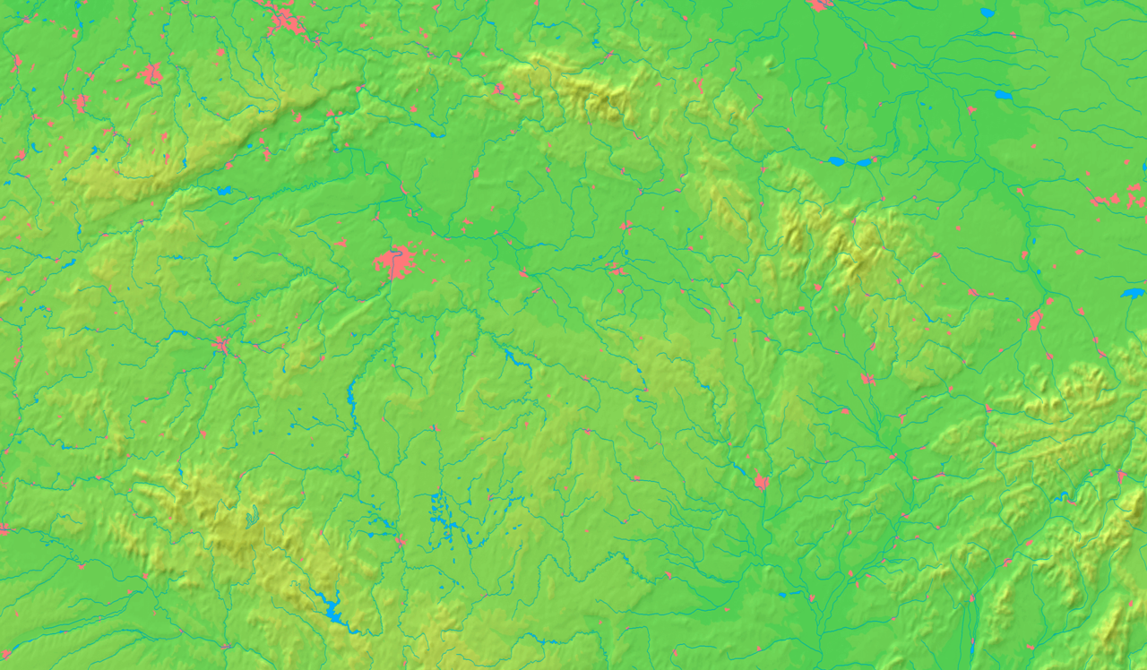
| คำอธิบาย | Background map of Czechia, , ready for the Geobox template, calibrated at en:Template:Geobox locator Czechia | ||||
| วันที่ | |||||
| แหล่งที่มา | Made my myself from free maps available at www.demis.nl | ||||
| ผู้สร้างสรรค์ | Caroig | ||||
| การอนุญาต (การใช้ไฟล์นี้ใหม่) |
|
||||
| เวอร์ชันอื่น | ไฟล์อื่นที่ใช้ไฟล์นี้: Czechia - merged map.png |
ประวัติไฟล์
คลิกวันที่/เวลาเพื่อดูไฟล์ที่ปรากฏในขณะนั้น
| วันที่/เวลา | รูปย่อ | ขนาด | ผู้ใช้ | ความเห็น | |
|---|---|---|---|---|---|
| ปัจจุบัน | 02:16, 10 กันยายน 2550 | | 2,684 × 1,568 (2.1 เมกะไบต์) | Caroig | |
| 05:19, 4 กันยายน 2550 |  | 2,684 × 1,568 (2.14 เมกะไบต์) | Caroig | {{Information |Description=Background map of Czechia, ready for the Geobox template |Source=Made my myself from free maps available at www.demis.nl |Date=2007-08-06 |Author=Caroig |Permission={{demis-pd}} }} [[ |
หน้าที่มีภาพนี้
หน้าต่อไปนี้ โยงมาที่ภาพนี้:
การใช้ไฟล์ข้ามโครงการ
วิกิอื่นต่อไปนี้ใช้ไฟล์นี้:
- การใช้บน ar.wikipedia.org
- การใช้บน en.wikipedia.org
- การใช้บน eo.wikipedia.org
- Vultavo
- Bečva
- Ostravice (rivero)
- Regiono Vysočina
- Sudbohemia regiono
- Regiono Hradec Králové
- Regiono Pardubice
- Regiono Plzeň
- Mezbohemia regiono
- Regiono Karlovy Vary
- Moraviasileziaj Beskidoj
- Opavice
- Ŝablono:Geokesto/dokumentado
- Ŝablono:Geokesto
- Nacia parko Šumava
- Ŝablono:Geokesto2 simboloj
- Vikipedio:Vikimanio Svitavy 2011
- Sázava
- Ŝablono:Geokesto2
- Ŝablono:Geokesto2/dokumentado
- Ŝablono:Geokesto3
- Ŝablono:Geokesto3/dokumentado
- Vikipedio:Lua/Petoj
- Vikipedio:Lua/Moduloj/Geografiaĵoj/testoj/mapligilo
- Vikipedio:Lua/Moduloj/Geografiaĵoj/testoj/mapligilo2
- การใช้บน fa.wikipedia.org
ดูการใช้ข้ามโครงการเพิ่มเติมของไฟล์นี้